Posted 14 March 2025
“Shock News”. At the start of March, with no apparent wide public consultation, five draft Traffic Regulation Orders (TROs) were published on the Cambridgeshire County Council website for major road works in Stapleford and Great Shelford.
Any objection MUST be made before March 24th.
This is part of the Greater Cambridge Partnership (GCP)-funded Greenways program…. Yet it will make walking, cycling and driving more difficult for many here.
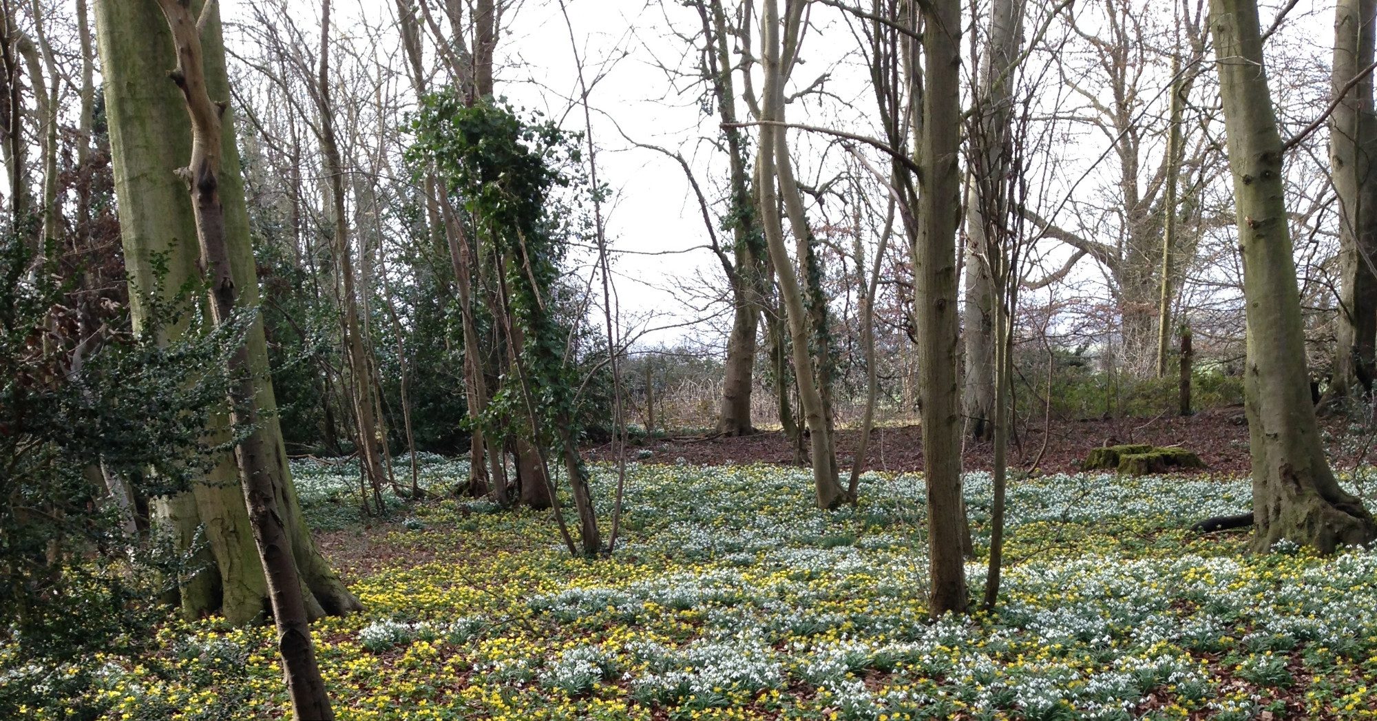
We had been getting better cycle routes, starting with National Cycle Network (NCN) route 11 including the Genome or DNA path to Addenbrooke’s, opened in 2006. Both NCN 11 and the 2016 Greenway proposals had the ‘preferred’ route along the railway corridor South of Shelford station, mainly on the old Haverhill line to reach the amenity land around the Dernford Reservoir and to the A1301.
The major changes:
GCP has ‘paused’ that preferred route along the railway, and now ‘Orders’ have been drafted to allow changes to roads, streets, pavements and bus stops in Great Shelford and Stapleford on what was supposed, 20+years ago, to be an ‘interim’ route.
Responses
Objections must be made before March 24th 2025. You can write in support, or comment, but if you wish to formally object, the word ‘Object’ must be used, otherwise it may be treated as a mere comment. It will take more than one objection to stop or alter this work! There are 5 ‘orders’ but it is PR1094 of which I, and many others are most critical. Links for TROs and a reply email later.
What changes are proposed?
At the Church Street and London Road junction, the proposals are just badly designed: they will make schoolchildren cross over Church Street in the path of cars, close to the corner, right where cars cut corners. The bus lay-bys used in both directions by No 7 buses and the many company, school and college buses will be removed with the road further narrowed, so stopping buses will then obstruct traffic. The Cambridge ‘bound’ stop will be moved. Will there be space for an equivalent shelter? Or will those waiting, including the elderly, have to stand in the cold and rain?
On Hinton Way, with similar bad design, the road will be narrowed such that two cars cannot pass, so that both pavements can be widened to allow shared use and a zebra/cycle crossing between. Bus stops there will also be moved.
Much of this work will clearly need 24/7 road works traffic control if not road closures.
Very Poor Quality
Badly-designed shared-use pavements are a hazard for both pedestrians, the disabled and those on bikes.
In these proposals, none of the new shared-use pavements meet even the minimum width in the Department of Transport Guidance, which also states:
“In urban areas, the conversion of a footway to shared use should be regarded as a last resort”
&
“Where a shared use facility is being considered, early engagement with relevant interested parties should be undertaken, particularly those representing disabled people, and pedestrians and cyclists generally. Engaging with such groups is an important step towards the scheme meeting the authority’s Public Sector Equality Duty”.
The Other Proposals
There are more TROs about yellow lines, speed humps and 20 limits. The design and construction of speed reduction measures is critical if they are to be effective yet not be a danger to those on cycles, or trikes. The speed limits are on streets with already low speeds, off Hinton Way, yet not on that road, with the most danger from speeding vehicles.
What To Do
Where do I find full details? The Orders complete with text and maps are listed at:
- PR1094 is, complete with 5 maps, for the major changes from Hinton Way, via Mingle Lane and Church St, to London Rd.
- PR1100 is for speed humps on Granham’s Road
- PR1096 & PR1095 are for waiting restrictions etc
- PR1098 is for 20 limits in Chaston Rd, Orchard Road etc.
Replies need to go to policyandregulation@cambridgeshire.gov.uk quoting the appropriate TRO reference.
Mingle Lane and Church Street are in urgent need of a complete ‘rebuild’ and that must not be delayed, but funding must clearly not come from the Greenways Budget!
Cost-effective Alternative that Benefits All
The rail-corridor route could be similar to the Maintenance/Cycle/Foot routes along the Guided Bus routes but with a necessary ‘Palisade’ fence segregating it from the ‘live’ railway. Even with odd closures for rail maintenance, it would be far better for many, especially those cycling to work/school/college as they would avoid existing poor-quality sections through our villages.
Given the complex nature of the works within Stapleford and Great Shelford, the serious disruption during any works, and the inadequacy of the resulting Greenway would not, in the longer term, the railway corridor route be cheaper?
Reducing Danger
I’ve been a volunteer sustainable transport campaigner both locally and nationally for decades. We need to reduce danger both on our roads, and on our pavements. That encourages independence for the young, and continues independence for the elderly, which keeps us healthy, and is good for all. {In Cambridge, studies of the Chisholm Trail (phase one) point to this.} Poor quality design, such as much in these proposals, has a negative effect on everyone, as well as wasting much money.
Finding Out More
I’m happy to try and answer any questions, even technical.
This is a link to the DfT 188 page document on ‘Guidance for local authorities on designing high-quality, safe cycle infrastructure’
https://www.gov.uk/government/publications/cycle-infrastructure-design-ltn-120
Jim Chisholm
If you wish to contact Jim, please email mail2G3S@gmail.com and we will forward your message.
Further Information
Camcycle has a blog on its concerns about these proposals , with maps
see: