Many thanks to Jenny Flynn, Chair of the Neighbourhood Plan Steering Group, for her presentation tonight as well as the years of hard work in championing this plan and getting it adopted.
Jenny has provided her presentation in PDF form. Here is a link to a downloadable copy:
S&GS-NPpresentationFor2G3S-260226.pdf
The neighbourhood plan has equal weight with the Local Plan and National (NPPF) guidelines when assessing planning applications, but will need to be kept consistent with these more general plans as they evolve in future.
The neighbourhood plan has 10 policies, and Jenny concentrated on the 5 of these that are most relevant to 2G3S, although her presentation includes a summary of all of the plan’s policies.
Jenny explained how the plan can be used to help feed back on public consultations and planning applications, and also suggested some practical actions which we as a group might take to support the objectives of the plan in maintaining and improving access to nature, securing wildlife habitat and meeting targets on emissions.
In the broader discussion prompted by this presentation, it was noted that land that is currently designated as Green Belt will not be safe from development, as Green Belt status by itself will no longer be considered sufficient grounds for refusal of a development application. The opening of Cambridge South station will mean that green belt land within 800m of the station will not be protected from development by being designated as Green Belt.
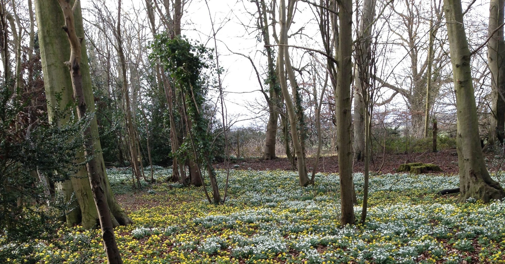
The plan can potentially provide a strong and valuable basis to evaluate and challenge developments, and this can be strengthened if the various other policies, for example the South Cambs Climate and Nature Strategy and the Local Nature Recovery Strategy, are consistent with it. The LNRS through an unfortunate omission does not mention Wandlebury and the Magog Downs (we hope this will be corrected) and it is unclear whether the mapped border of the Magog Hills ( a protected area) has moved from its original definition in landscape character assessment documents to shrink the area protected. Certainly the current border does not seem to match geology or historic settlement. Something worthy of further investigation.